Mapping Local Biodiversity: Methods and Benefits
Understanding local biodiversity is essential for promoting ecological health and sustainability. This article explores effective methods for mapping biodiversity and the various benefits that arise from such initiatives.
Understanding the Basics of Biodiversity Mapping
Biodiversity mapping involves documenting the variety of life forms in a specific area, including plants, animals, and microorganisms. Experts recommend this process to understand local ecosystems better and promote conservation efforts. Typically, biodiversity mapping employs field surveys, remote sensing, and geographic information systems (GIS) to gather data.

"Biodiversity mapping helps identify critical areas for conservation and informs policy decisions." - National Geographic Society
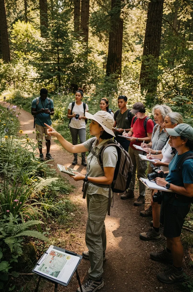
Methods for Mapping Biodiversity
There are several effective methods for mapping local biodiversity, each with its own strengths and limitations:
- Field Surveys: Conducting physical surveys allows for direct observation and data collection. This method often involves species identification and habitat assessment. However, it can be time-consuming and may require significant expertise.
- Remote Sensing: Utilizing satellite imagery and aerial photography provides a broader view of ecosystem changes over time. While this method can cover large areas quickly, its effectiveness depends on the resolution of the images and the analysis techniques used.
- Geographic Information Systems (GIS): GIS integrates various data sources to visualize and analyze biodiversity patterns. This approach is effective for mapping species distributions and understanding habitat connectivity.
Benefits of Biodiversity Mapping
The advantages of biodiversity mapping extend beyond simply cataloging species. Here are some key benefits:
- Informed Decision-Making: Biodiversity data supports policymakers in developing conservation strategies. Research indicates that areas mapped with high biodiversity receive more focused conservation efforts.
- Enhanced Community Engagement: Involving local communities in biodiversity mapping fosters a sense of ownership and responsibility towards their natural surroundings. Many communities report increased awareness and participation in conservation activities after engaging in mapping projects.
- Monitoring Ecosystem Health: Regular biodiversity assessments can help monitor changes in ecosystems over time. This is crucial for identifying threats such as invasive species or habitat loss, allowing for proactive management.
Challenges and Considerations
While beneficial, biodiversity mapping comes with challenges. The process can be resource-intensive and requires a commitment to ongoing data collection and analysis. Experts suggest that successful mapping initiatives typically involve collaboration between scientists, local communities, and governmental organizations. Moreover, it is important to recognize that results and insights may vary based on the methodology employed and the specific ecological context.
Conclusion
Mapping local biodiversity is a critical endeavor that can yield valuable insights for conservation and policy-making. By employing a combination of methods, communities can enhance their understanding of local ecosystems and contribute to more effective environmental stewardship. While challenges exist, the potential benefits make biodiversity mapping a worthwhile investment for the health of our planet.